Geography / Volcanoes
Mount Etna
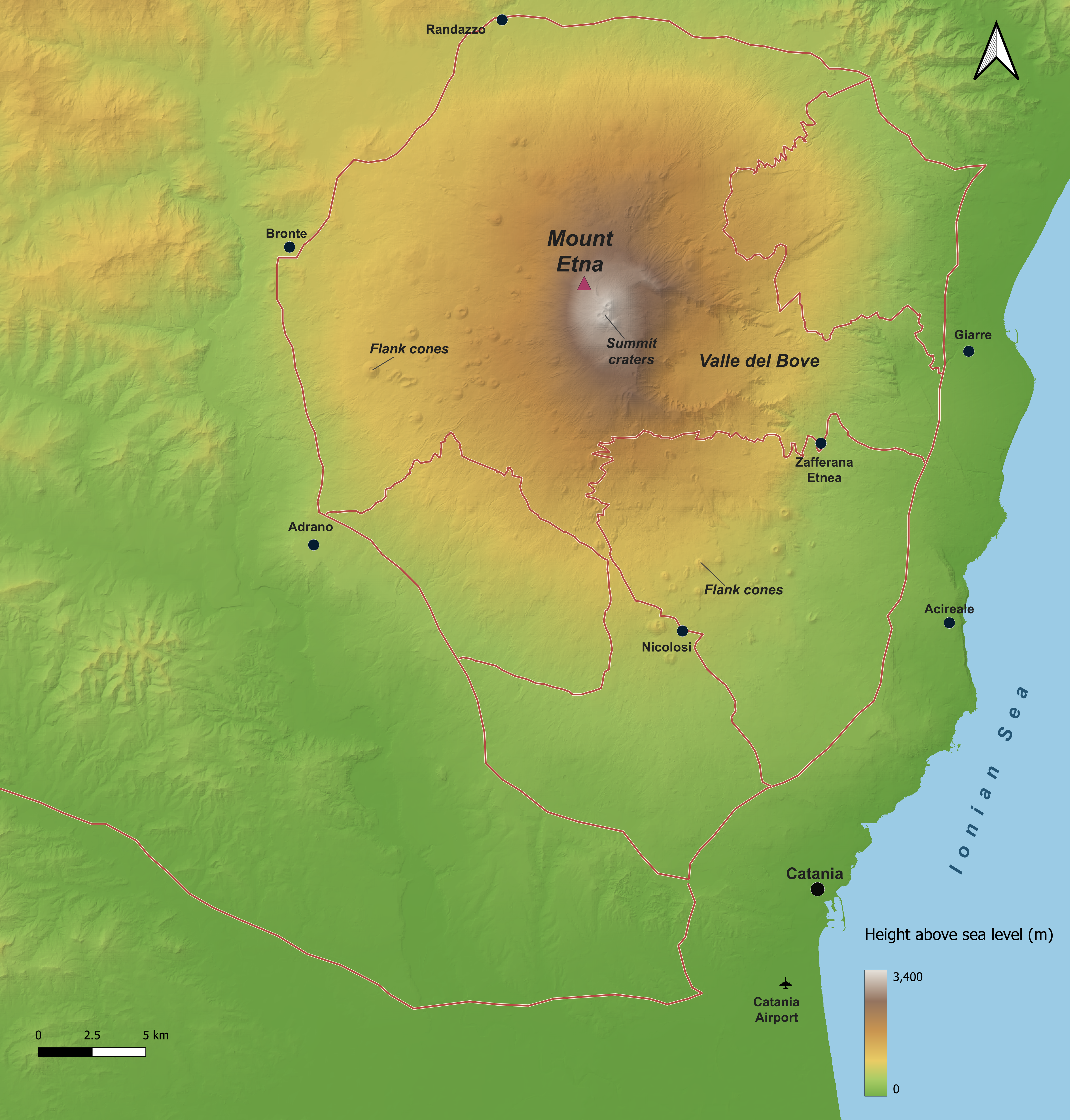
Explore Etna’s relief, settlements and farmland through a flat map, an interactive landscape and a four-part printable model.
Maps and printable model
Full map
Single-page PDF · 19.1 MB
Four A4 map tiles
Four-page PDF · 3 mm bleed · 19.1 MB
Documentation
Project case study
DOCX · 726 KB
Full technical workflow
DOCX · 728 KB
Data credits
Terrain: TINITALY 1.1, INGV, 10 m elevation data. Attribution and further sources are recorded in the documentation and the interactive viewer’s Credits panel.