East Preston: wartime aerial photography.
Compare a wartime reconnaissance photograph with modern satellite imagery of East Preston.
Drag the dividing line, or use the slider below. With the slider selected, use the arrow keys to make smaller changes.
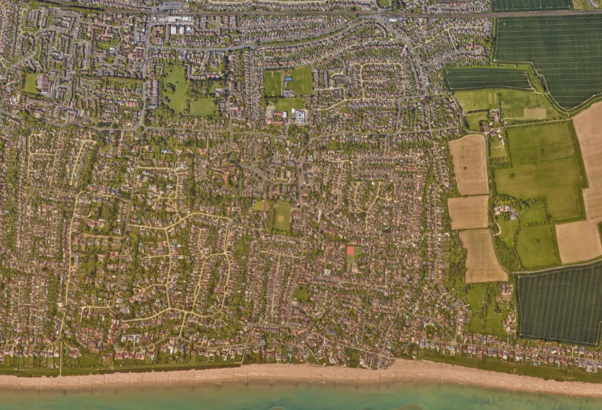
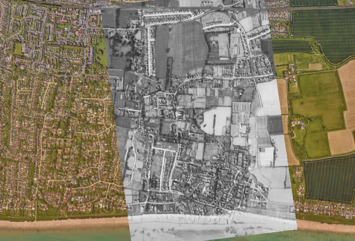 Second World WarToday
Using the comparison
The historical photograph covers part of the view; modern satellite imagery remains visible outside its footprint. Historic England dates the linked USAAF collection to 1943–44. The exact date of this photograph is unconfirmed; its individual archive record is needed to establish it.
Look closely
- Which roads or landmarks can you recognise in both views?
- Where has the settlement or landscape changed most?
- Which differences might come from the way the map or photograph was made?
Maps and credits
Historical aerial photograph: United States Army Air Forces (USAAF), sourced from the Historic England Archive USAAF collection. Modern satellite imagery: Google satellite. The individual archive reference and full satellite provider credits have not been supplied.