Just some maps I use to teach.
This website contains various maps that I use to teach, most have a personal connection to the author and their relevancy may be limited. I just wanted a place where I could keep them all together.
This map is a georeferenced copy of USAAF reconnaissance photography taken in 1945 overlayed over Google satellite photography.
This map is a georeferenced OS map from 1886 overlayed on Google satellite imagery. The large Union Workhouse is clearly visible along with the Portsmouth to Brighton railway line which was operated by the London, Brighton and South Coast Railway from 1846 to 1922.
The Bosbury History Resource provides a fascinating overview of this historic village on the River Leadon. This map is a georeferenced copy of the 1886 OS map overlayed onto Google satellite photography.
This map uses polynomial georeferencing to compare the layout of modern Chichester with that of 1595. Speculum Britanniae (“Mirror of Britain”) is an unfinished chorography of Britain by John Norden. The map is a birds-eye view of Chichester and the historic layout of the city is still clearly visible in its’ modern incarnation.
This map shows the Rapes of Sussex; created in 1776 by Emanuel Bowen. It is georeferenced and overlayed onto a modern OS map. During the georeferencing process it became very clear that this was a highly accurate map for its time period.
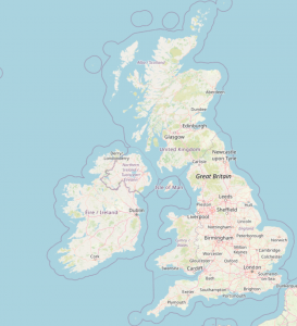
This map is a comparison of the British Isles today compared with the landscape of 7000 BC. It is adapted from work by William McNulty and Jerome Cookson for the National Geographic Magazine.
This map compares the village of East Grimstead today with that of 1885. Situated in the Dun Valley in Wiltshire the abandoned Salisbury and Southampton canal (not pictured) lies to the south of the village. The boundary of Bentley Wood appears largely unchanged.
This map is a comparison of the villages of East Grimstead, West Grimstead, West Dean and Farley in 1773 with their modern layouts. Dean hill lying to the south of the River Dun is clearly visible.
This map shows Roman towns and roads situated within England and their relationship to waterways.
This map links in as an experience day for an English writing unit on Dragons. It gives some information and the location of various water Dragons from around the world.
This map links in as an experience day for an English writing unit on Dragons. It gives some information about various interesting Dragons from around the world.
This map illustrates the tribal areas of the Amazon rainforest with particular reference to the Kayapo people. Data are from the Brazilian Institute of Geography and Statistics (IBGE).
This map excludes losses of ships smaller than destroyers. The size of the marker is relative to the personnel losses of the ship during its sinking. Whilst care has been made to ensure the accuracy of the data, there may still be some errors.
This map shows a slightly exaggerated 3D relief view of West Sussex and the South Downs